
Description
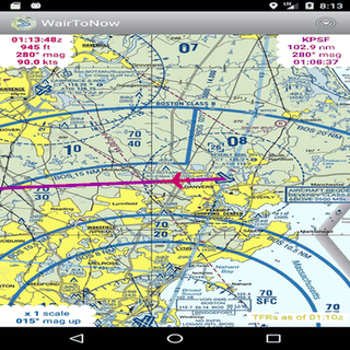
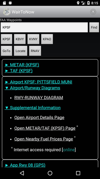
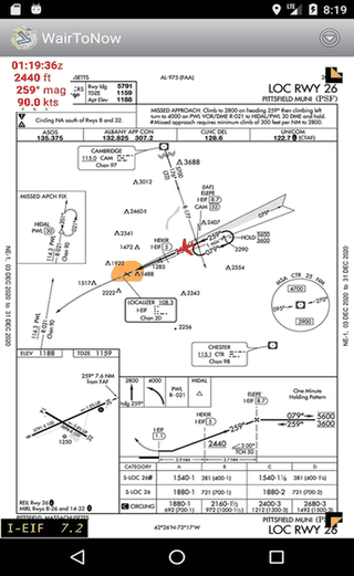
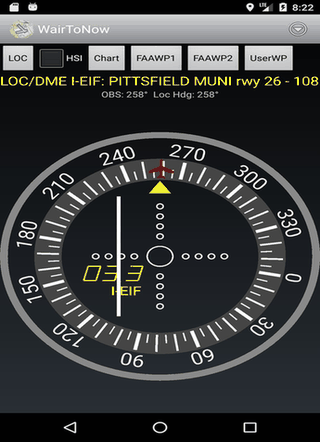
This open-source app gives pilots geo-referenced airport diagrams and approach plates. It covers US charts, including sectionals and terminal areas, plus OpenStreetMap for nearby navigation. Features runway diagrams and customizable DME displays. Perfect for flight planning and in-airport guidance.
Screenshots
Click to view full size
Click to view full size
Click to view full size
Click to view full size
Click to view full size
Click to view full size