
GeoNetwork
Manage geospatial metadata efficiently
Description
GeoNetwork is an open-source platform designed for geospatial metadata management. It enables governments, research institutions, and environmental organizations to publish, share, search, and manage geographic data seamlessly. Ideal for handling map data, remote sensing information, and GIS datasets, it ensures standardized management and quick accessibility for users worldwide.
Screenshots
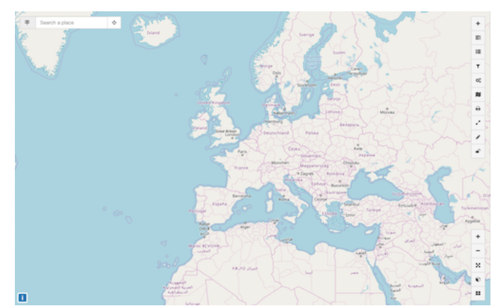
Click to view full size