
Java Graticule 3D
Visualize and analyze geodetic networks in 3D
Description
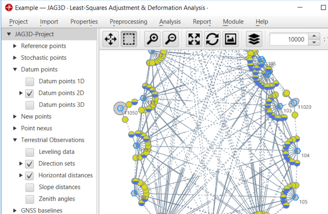
Java Graticule 3D is a specialized geodetic estimation tool that combines a streamlined interface with powerful calculation capabilities. It enables professionals to perform precise geodetic network estimations, coordinate transformations, and advanced 3D earth visualization. Cross-platform compatibility ensures seamless operation on Mac and Linux systems, supporting workflows in surveying, cartography, and geodesy with reliable accuracy and efficiency.
Screenshots
Click to view full size