
GeoServer
GeoServer shares and analyzes geospatial data
Description
GeoServer is an open-source software server designed for users who need to publish, analyze, and share geospatial data. It enables the creation of detailed, interactive maps from various data sources, supporting standards like WMS, WFS, and WCS. Compatible with Mac and Linux systems, it empowers organizations to manage spatial information efficiently, facilitating collaboration and data-driven decision-making in fields such as environmental science, urban planning, and logistics.
Screenshots
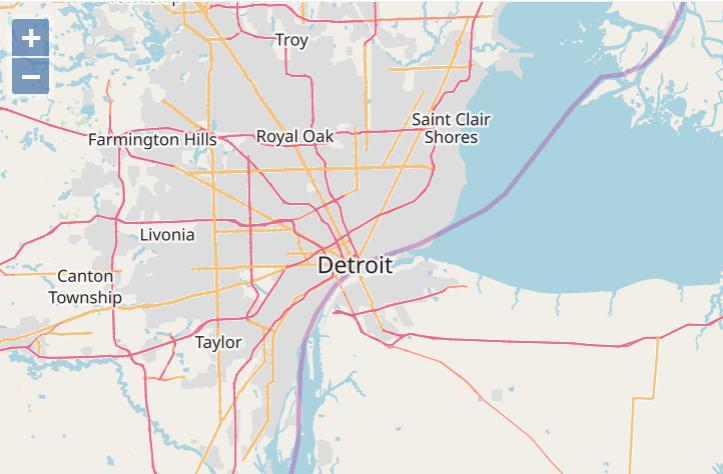
Click to view full size