
Panoply
Plot raster images and array data
Description
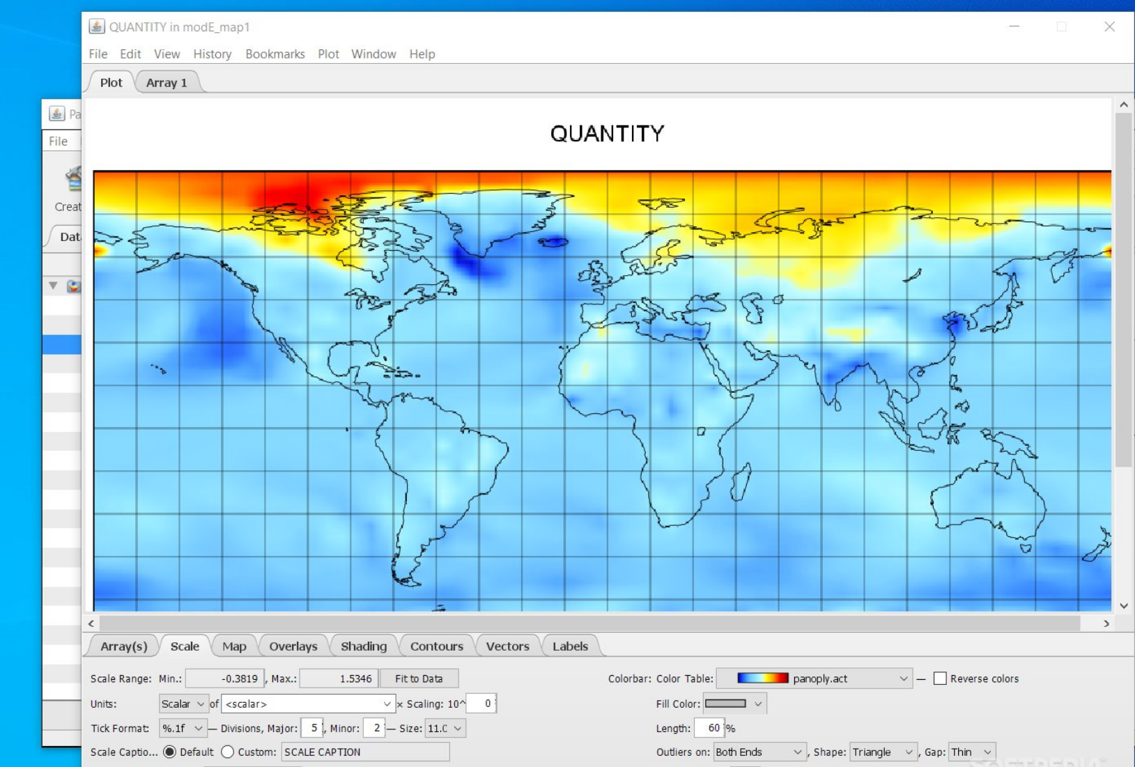
Panoply is a free NASA-designed application that visualizes geo-gridded data and array-structured datasets. It supports formats like netCDF, HDF, and GRIB, enabling users to create raster plots, overlay data, and customize color scales. Ideal for scientists and researchers, it simplifies complex data analysis with an intuitive interface, allowing quick insights into environmental, climate, or spatial datasets without requiring advanced programming skills.
Screenshots
Click to view full size