
GeoRefImg
Georeference raster images in AutoCAD
Description
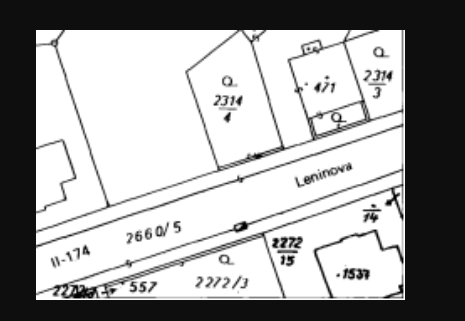
GeoRefImg is a specialized tool for AutoCAD that enables precise georeferencing of raster images directly within your drawing environment. It allows you to accurately position and scale aerial photos, scanned maps, or satellite imagery to real-world coordinates. The tool supports a wide array of file formats, ensuring compatibility with your existing data. By setting custom sizes and positions, you can seamlessly integrate raster backgrounds with your vector CAD data, creating a spatially accurate foundation for design, planning, and analysis workflows without needing external GIS software.
Screenshots
Click to view full size