
Aven
Aven maps and visualizes underground cave systems
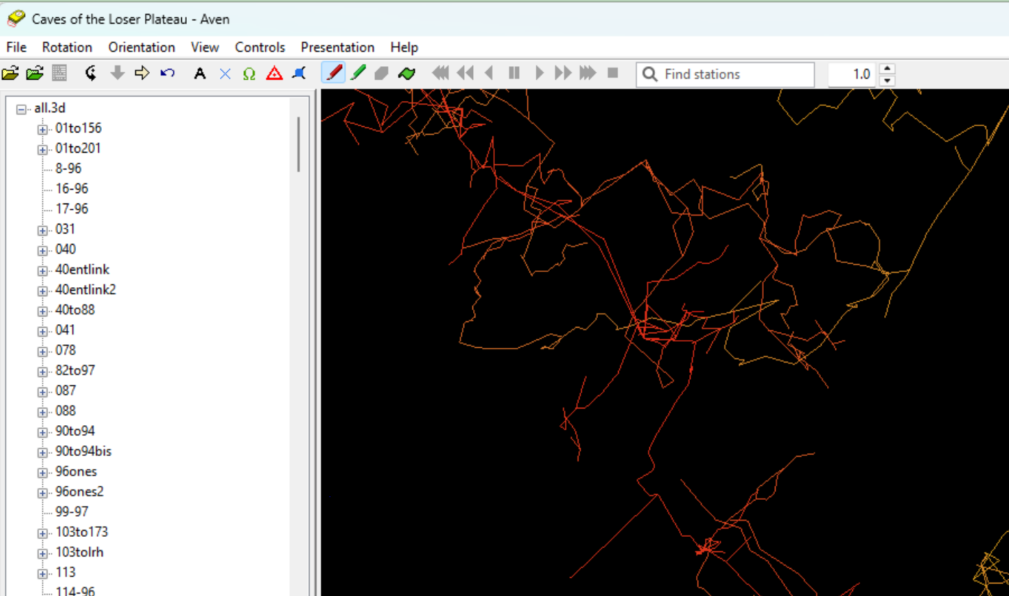
Description
Aven is a specialized geographical application designed for the precise surveying and 3D visualization of caves and complex underground networks. It transforms raw survey data into clear, navigable 3D models, allowing cavers, geologists, and researchers to accurately map passages, document features, and analyze spatial relationships. The tool supports essential caving workflows, from data import to generating detailed maps and cross-sections. Its reliable rendering engine provides an intuitive way to explore subterranean worlds, plan expeditions, and archive critical spatial information for safety and scientific study.
Screenshots
Click to view full size